Sight Flight
A drone photogrammetry platform built for roofing and solar companies. Captures property data from the air, processes it into 3D models via Open Drone Map, and syncs everything back to your CRM.
Roof surveys, without climbing the roof
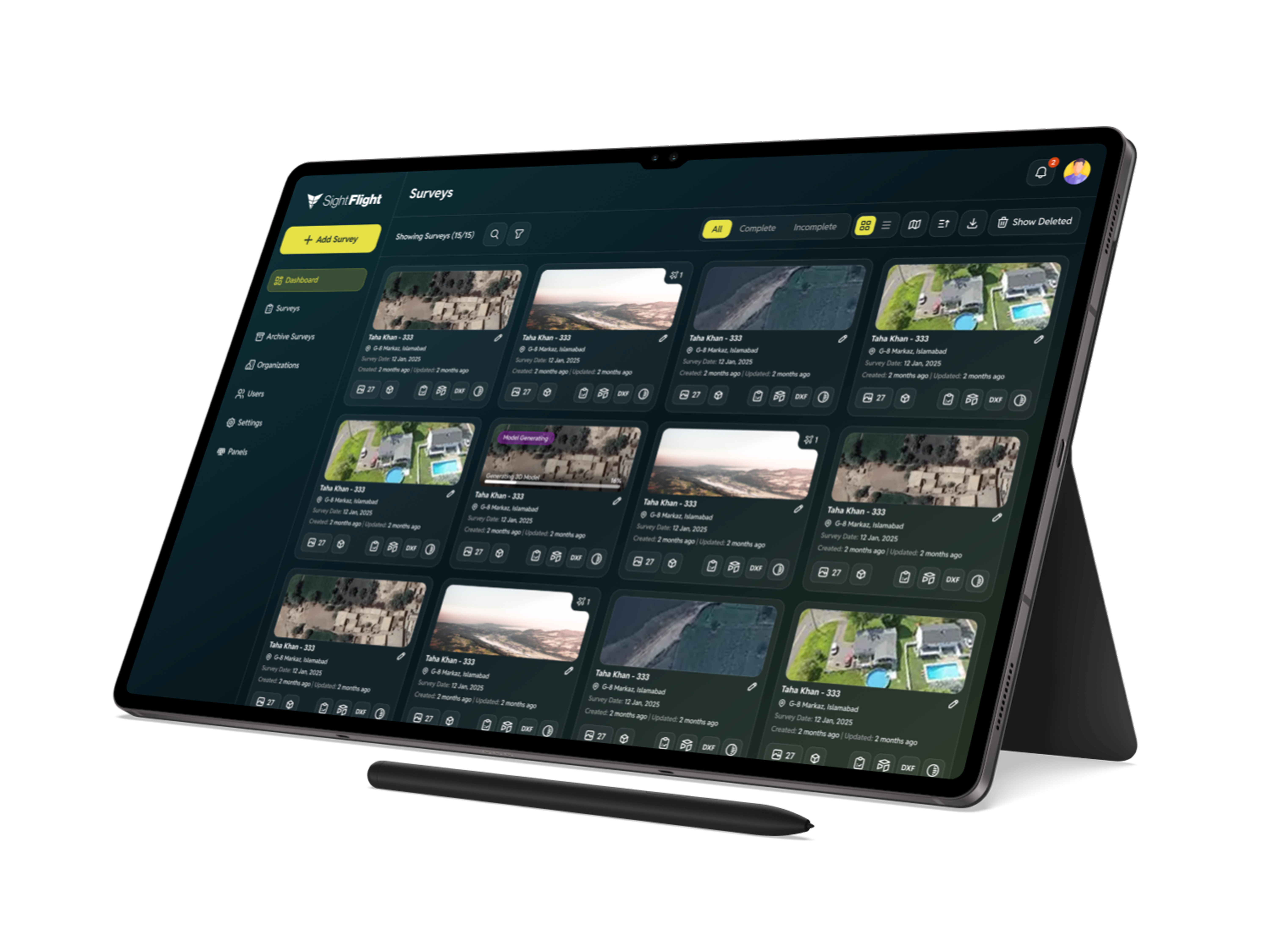
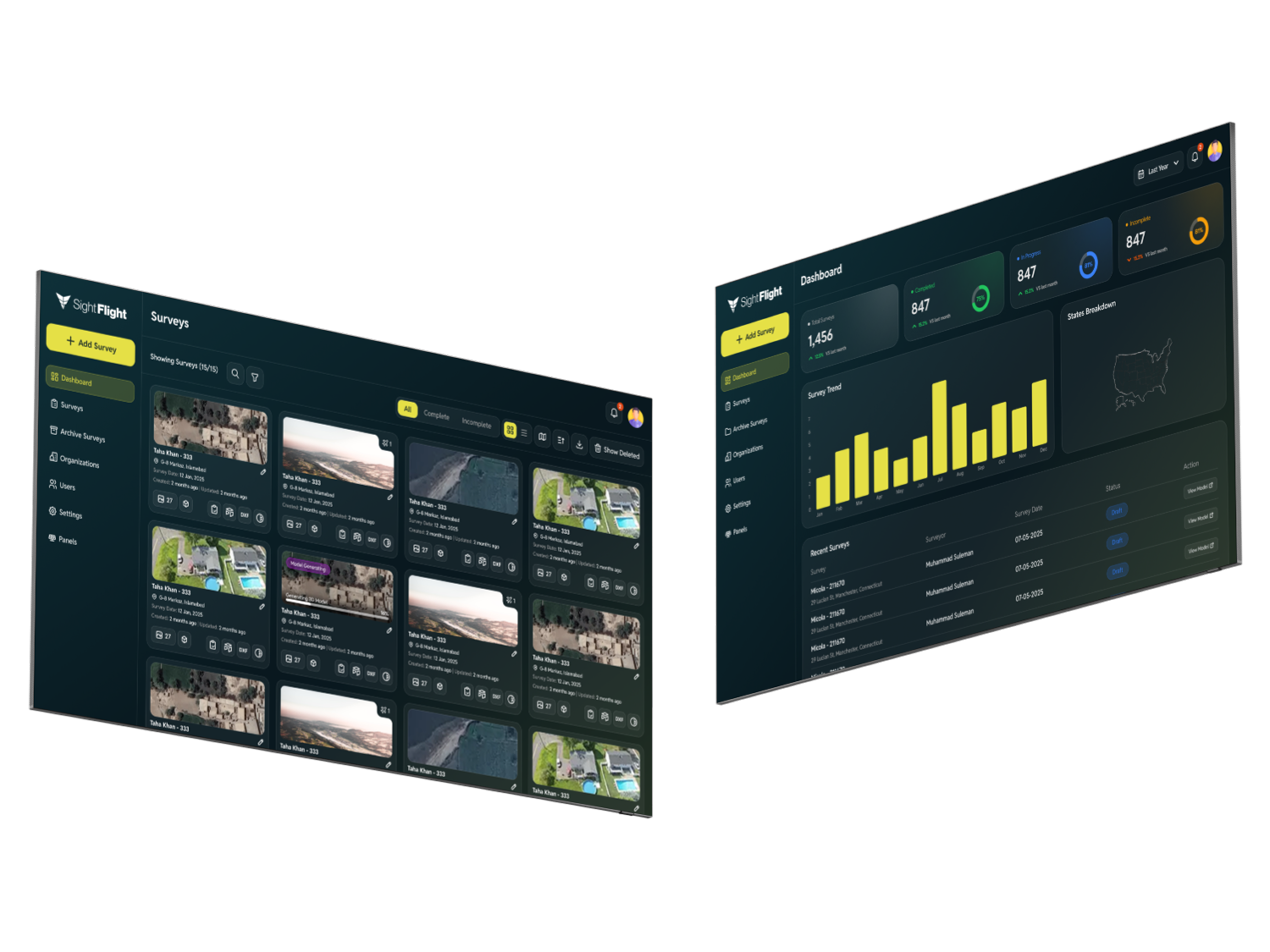
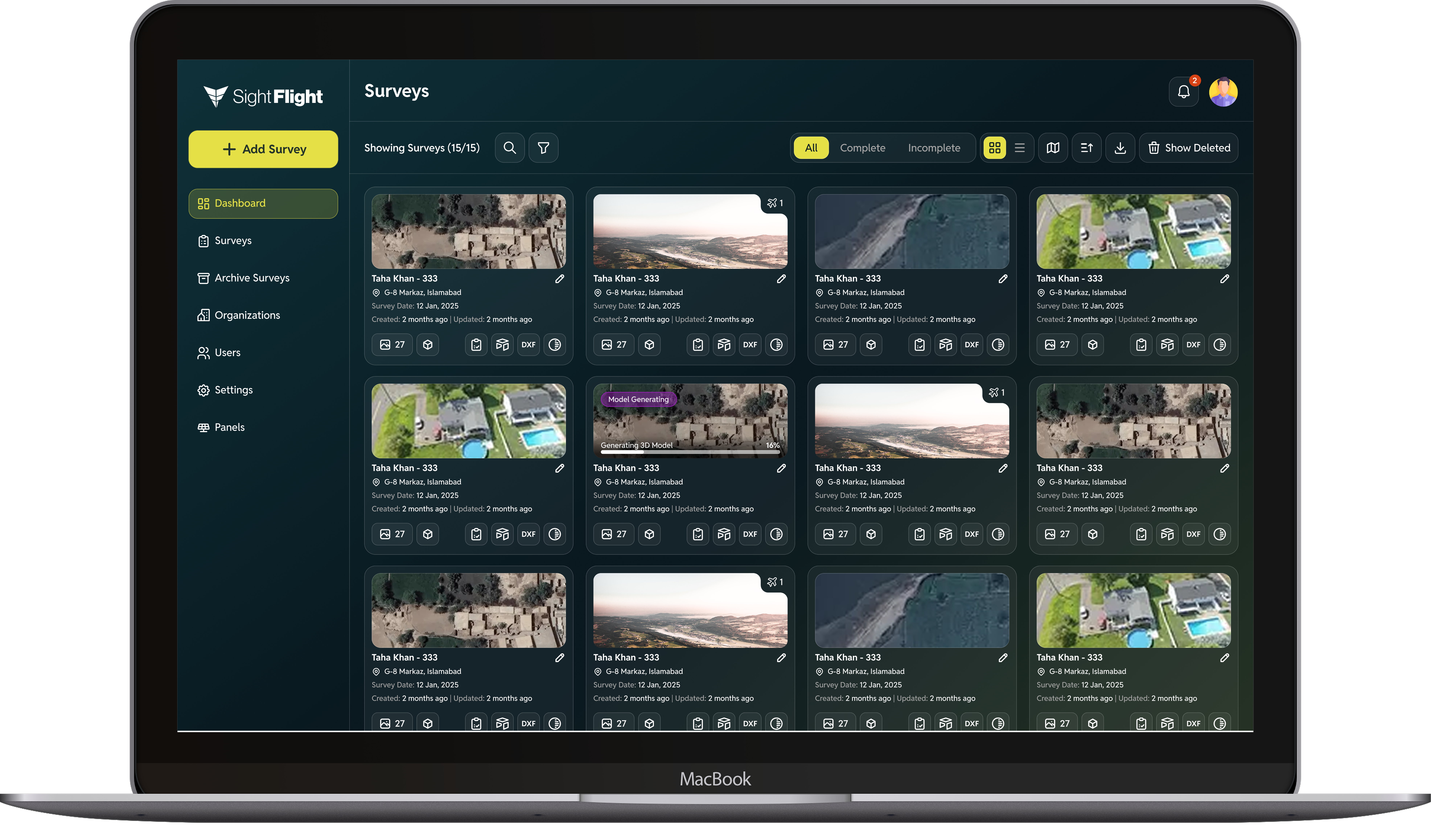
Sight Flight replaces the tape measure and the ladder with a drone and photogrammetry. Solar and roofing companies use it to survey properties from the air, capturing high-resolution imagery that gets processed into precise measurements.
Roof pitch, surface area, obstructions, shading. All captured without anyone setting foot on a roof.
From flight to proposal in minutes
Survey data syncs back to Everything CRM and other platforms so your sales team has accurate project specs before they write a proposal.
What used to take a crew half a day takes one person fifteen minutes. AWS ECS/Fargate handles the heavy processing while your team moves on to the next job.
Key features
Multiple flight patterns
Plans flight paths automatically using one-circle, three-circle, or grid patterns. Captures up to 150 images per batch with full EXIF and GeoJSON tracking. No manual piloting required.
3D model processing
Open Drone Map (ODM) photogrammetry processes aerial imagery into 3D models, with automatic OBJ-to-GLB conversion for web-ready viewing. Real-time status updates over WebSockets.
Solar panel designer
Lay out solar panels directly on the 3D model. Comprehensive panel database with electrical specs (Vmp, Imp, Pmax, Voc, Isc), environmental tolerances, and load ratings.
Professional PDF reports
Generates branded PDFs with property details, horizon roof analysis, polygon-based design visualization, measurements, roof angles, and obstacle documentation.
How it works
Set the boundary
Mark the property on a map. Sight Flight plans the flight path automatically. No piloting experience required. Just draw the area and hit go.
Fly and capture
The drone captures high-resolution imagery from multiple angles, covering every surface. The flight runs on autopilot so your team can focus on the job.
Get results
Open Drone Map processes the images into 3D models, measurements, and PDF reports. Delivered to your CRM in minutes, not days.
Built with
Frontend
Vue.js with mapping libraries for real-time flight visualization, survey management, and interactive 3D model viewing.
Backend
Laravel managing projects, image pipelines, and credit-based billing through Stripe. MySQL plus Redis for caching.
Processing
Open Drone Map (NodeODM) running in AWS ECS/Fargate containers. S3 for storage of imagery, models, and reports.